Geomatics is an interdisciplinary science that combines technology, geosciences and engineering reasoning for the management of geographic information and the resolution of problems related to the territory; however, it has more applications, ranging from security issues to videogames. This science deals with the capture, processing, analysis and visualization of geographic data, and its use in a wide variety of practical applications.
In turn, it is an essential tool in a wide range of industries, including surveying, mapping, geology, agriculture, natural resource management, urban planning, environmental management and emergency management. In each of these industries, geomatics is used to collect, analyze and visualize relevant geographic information, enabling informed decisions and improving decision-making efficiency.
This science includes a wide variety of tools and techniques, including geographic information systems (GIS), remote sensing, satellite navigation and digital mapping. These tools allow the capture and analysis of geographic data in real time, which means that geomatics professionals can make informed decisions in real time and respond quickly to changes affecting the object of study. The above is a brief introduction to what this science really is, since throughout my professional experience I have encountered several people who do not know what this interdisciplinary science is, and do not know that they use it unknowingly on a daily basis; for example, the use of maps in cell phones.
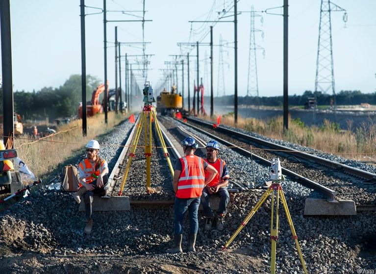
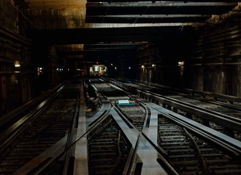
In railways, this interdisciplinary science is responsible for the design, layout, construction monitoring and maintenance of railway lines. It combines technology and mathematical principles to ensure that the tracks are level, aligned and have the proper slope to ensure safe and efficient train operation. On the other hand, the professional in this science is capable of processing large amounts of information obtained in the field or by remote means, which reduces project costs considerably.
Geomatics in railroads is divided into several areas such as geometric design, quality control, surveying, photogrammetry and mapping. Geometric design is responsible for planning the trajectory of railway lines, taking into account factors such as the topography of the terrain, its availability and the requirements to comply with the standards governing the project route. This is of utmost importance to ensure that track construction meets the required technical and safety standards.
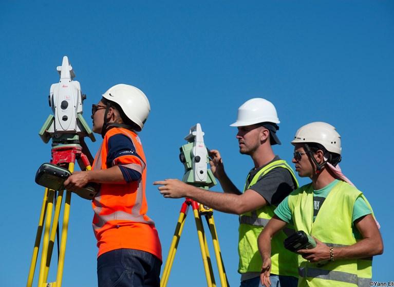
Topography is in charge of measuring and analyzing the elevation of the terrain, while photogrammetry is in charge of creating maps and digital models of railway lines. With the above I mean to imply that the Geomatics Engineer is not only a Topographer, but also a Photogrammetrist, Drone Pilot, Geodesist, Planner, and even a BIM modeler.


