Data obtained from satellites are already routinely used in aviation and urban planning. Now, a new ESA study called ‘SUPER’ (Supporting UAM Planning with EO Resources) is looking at using Satellite Earth Observation (SatEO) and Satellite Navigation (SatNav) technologies/data for UAM infrastructure planning and integration into public transport, as well as in the planning and monitoring aspects of UAM operations.
SUPER brings together a unique mix of Egis employees from different sectors, such as aviation experts, urban planners and mobility specialists to develop a single comprehensive understanding of the city and aviation perspectives. The aim of introducing SatEO (archived and near real-time data) is to provide diverse geospatial, environmental, weather and mapping information, and eventually combine it with positional data (SatNav) from air traffic. This would support strategic planning of UAM infrastructure, such as networks of vertiports and also introducing 3D urban zoning to facilitate aerial vehicle integration with other public transport means. It could also assist with planning and monitoring UAM operations, providing users with the benefit of regularly updated routes or mapping. EO could be used to identify new obstacles, adverse weather areas and possible route planning or linking different existing vertiports.
Intra-city, suburban and inter-city transport and deliveries
The concept of UAM spans intra-city, suburban, and inter-city passenger transport and package/cargo deliveries, and relies on new classes of electric aerial vehicles: drones and eVTOLs (Electric Vertical Take-Off and Landing). UAM is just at the beginning of its journey, but the potential of this market is enormous. It offers the promise of faster, low (or zero) emission journeys, smarter use of urban infrastructure and reduced congestion. However, if smooth integration of UAM into the airspace structure and into the urban environment is to be achieved, then infrastructure, regulations, and other challenges will need to be met. In the short term, UAM will predominantly rely on existing infrastructure such as heliports, but over time, it will require a network of vertiports and these must be complementary and fully integrated with existing land uses and activity patterns.
How can satellites help?
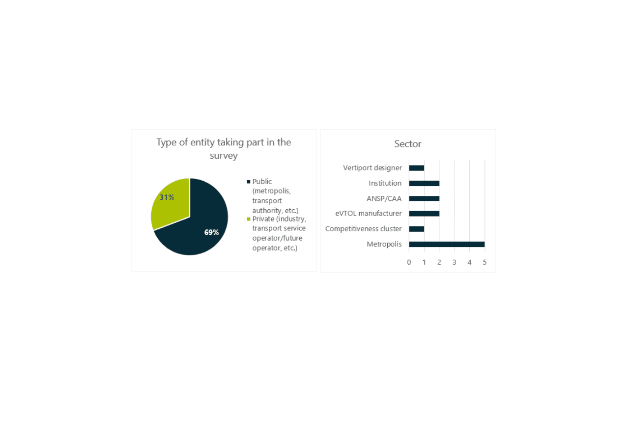
SUPER has started with a consultation process to investigate stakeholder and user expectations, visions and constraints (through an online questionnaire and interviews). This will lead to the development of an initial set of requirements. Nearly 50 European stakeholders have been invited to participate in the consultation, around half of them being cities and metropolises. At the time of writing, 13 sets of answers have already been received, including from cities accounting for a total population of more than 11 million people.


