What balance between ecological conservation and economic development for the largest estuary in Europe?
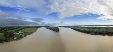
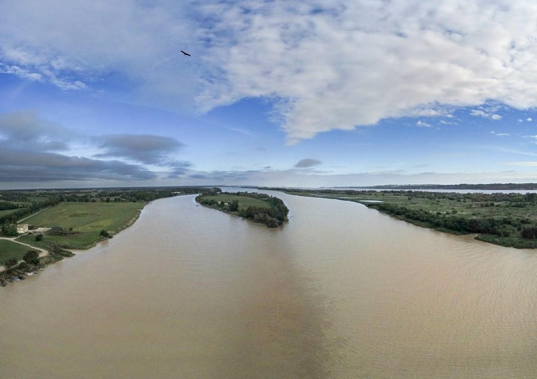
The Nouvelle-Aquitaine region has the largest estuary in Europe. This historical waterway is also a remarkable space through its diverse wealth within which many activities coexist (tourism, fishing, trade navigation, shellfish, etc.).
GPMB, across its 130,000 hectare territory, is both responsible for overseeing the public domain and developing the area. The actions of the “Port” are thus guided by the necessity of striking a balance between economic development and ecological conservation.
For many years, it has been working to improve its knowledge of the river and its estuary thanks to its instruments (sea level station network, current meters, etc.) and to its bathymetric measurement campaigns and the upgrading of digital models (GIRONDE XL 3D).
To go a step further and harness this data for everyone’s benefit, GPMB wished to obtain digital twins of the river. Calling on a large number of stakeholders, these digital twins were developed in record time (6 months) with the support of a high calibre scientific and IT community
Egis stood out through its strong specialist expertise in hydro-sedimentological modelling and its IT development capabilities which allowed it to analyse the client’s expectations in fine detail and fulfil them with great creativity.