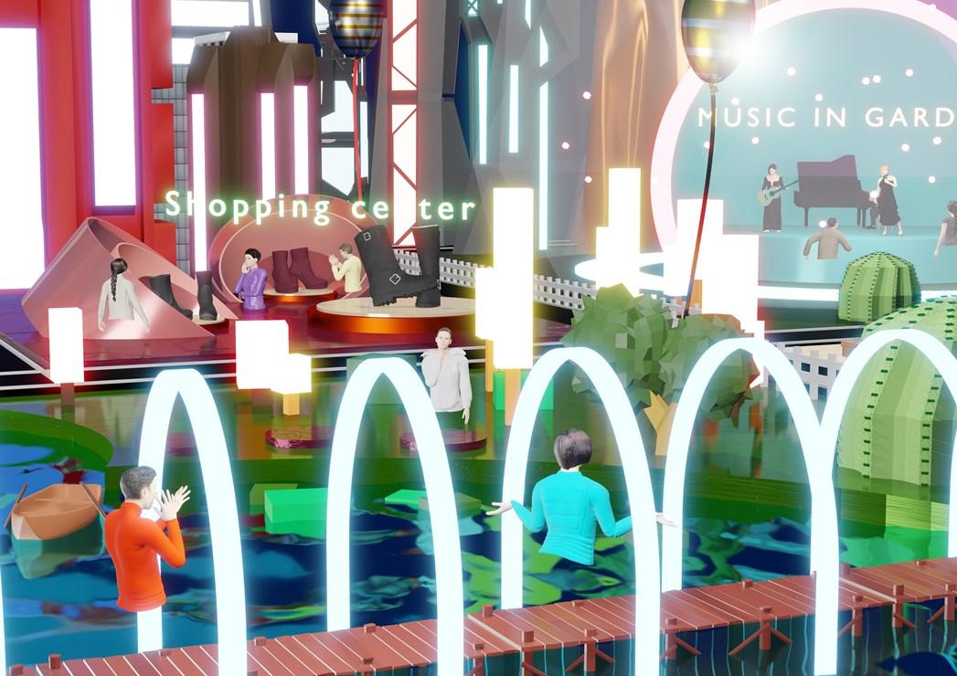
In parallel with the advent of the metaverse, the deployment of digital twins will gradually revolutionize the professions connected with urban planning: from architecture and planning to engineering, construction, maintenance and urban services. But the metaverse is also going to change the habits of the “users” of tomorrow’s cities: residents, tourists, travellers in transit, and so on. Google opted to deploy services requiring geolocation via a temporary free model (Maps), while OpenStreetMap has demonstrated the efficacy of the participatory model for the creation of cartographic supports: 3D visualization capacity is expanding all the time, driven by the emergence of city-wide digital twins, and is going to radically transform the way we relate to our cities.
A new way of relating to our cities
There is an abundance of data; data can increasingly be exchanged across different platforms; and communication protocols are increasingly standardized. Cities are now ready to make the step from the data age to the information age. But if the information is to be up to date, personalized, contextualized, and predictive, the need emerges for a platform that interfaces between the city, the various operators of urban services (water, waste, energy, cleaning, information, telecommunications, distribution etc.), and the users. It’s easy to appreciate, then, the appeal of the digital twin as a clearing house where needs are expressed and solutions proposed. It’s not just a question of technical management, media and content, however: the challenge is also to create value, either in the form of personalized editorial content or by the widespread diffusion of urban information to as many people as possible.
An information system and a systemic approach
Issues related with individual and collective mobility are an illustration of the need to individualize information as part of a systemic approach. As the expression of collective interests, a city obviously has needs which are different - or run counter - to those of an individual user. The job of integrator can’t be entrusted to just another service provider. Its mission must be defined according to the needs of citizens, as well as the needs of the city to centralize its operations; it’s not just a question of centralizing services or optimizing the operations of an industrial urban services provider. Content is created on a participative basis, and the best information systems can be improved by the users themselves.
The city as content platform
Two issues are at stake. The first is no less than the appropriation of the city, which has become over-complex; and the second is the return to a form of urban civility which we can designate urbanity, playing on the two acceptances of the term as relating to politeness and to the city (urbs, in Latin). The mission of a city’s digital twin integrator also addresses the needs of today’s citizens to find information when they don’t necessarily know what they’re looking for. Hence the emergence of the concept of “findability”. Good findability allows users to immediately find and access content via a simple Google search, guiding themselves via augmented and virtual reality. Here too it’s the user’s avatar who does the footwork, moving through a physical-virtual environment with the same ease as a character in a video game. The real world and its virtual representation are superimposed in an intuitive, natural fashion.
Kiss from Digital Twin
Digital twin integrators have to understand many business models. The presentation of cartographic and information content must take into account the complexity of uses and the frequently antagonistic characters of urban services protagonists. To make these complex issues approachable, Egis engineers adopt the KISS (Keep It Simple and Stupid) paradigm. The idea is to eliminate complexity: successful deployment of a digital twin makes information and knowledge available to all in terms of accessibility, universality and clarity.
As a leader in the deployment of digital twins, Egis is working with cities to expand this new way of experiencing, understanding and respecting cities.
